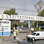
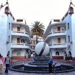
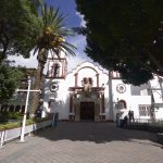
The Plaza Cívica is the centerpiece of the “Independencia” Housing and Social Services Unit. The neighborhood itself is a model of mid-20th-century mass housing construction. The Plaza is usually a first stop in visiting the broader development. The Unidad Habitacional Independencia largely dominates the entire northeast of San Jerónimo. Already one of the most beautiful Pueblos Originarios in this part of the city, it’s not often recognized that much of beauty is preserved by a public housing project.
A masterwork of Mid-Century Functionalism and Modernism, the influence of Neo-Indigenist styling is everywhere. It’s nowhere been better presented nor preserved. Keep these tips in mind if you decide to visit.
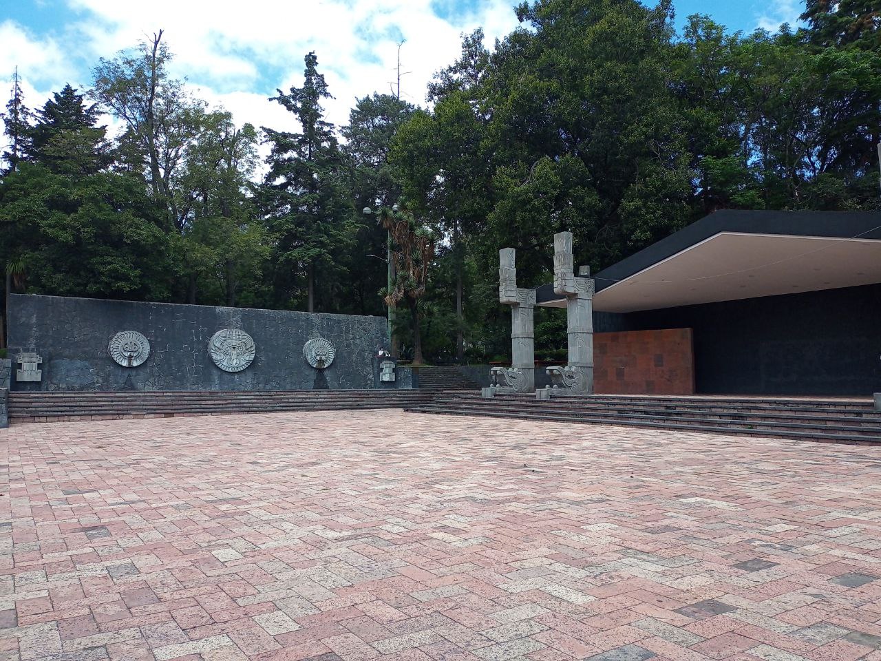
The Plaza:
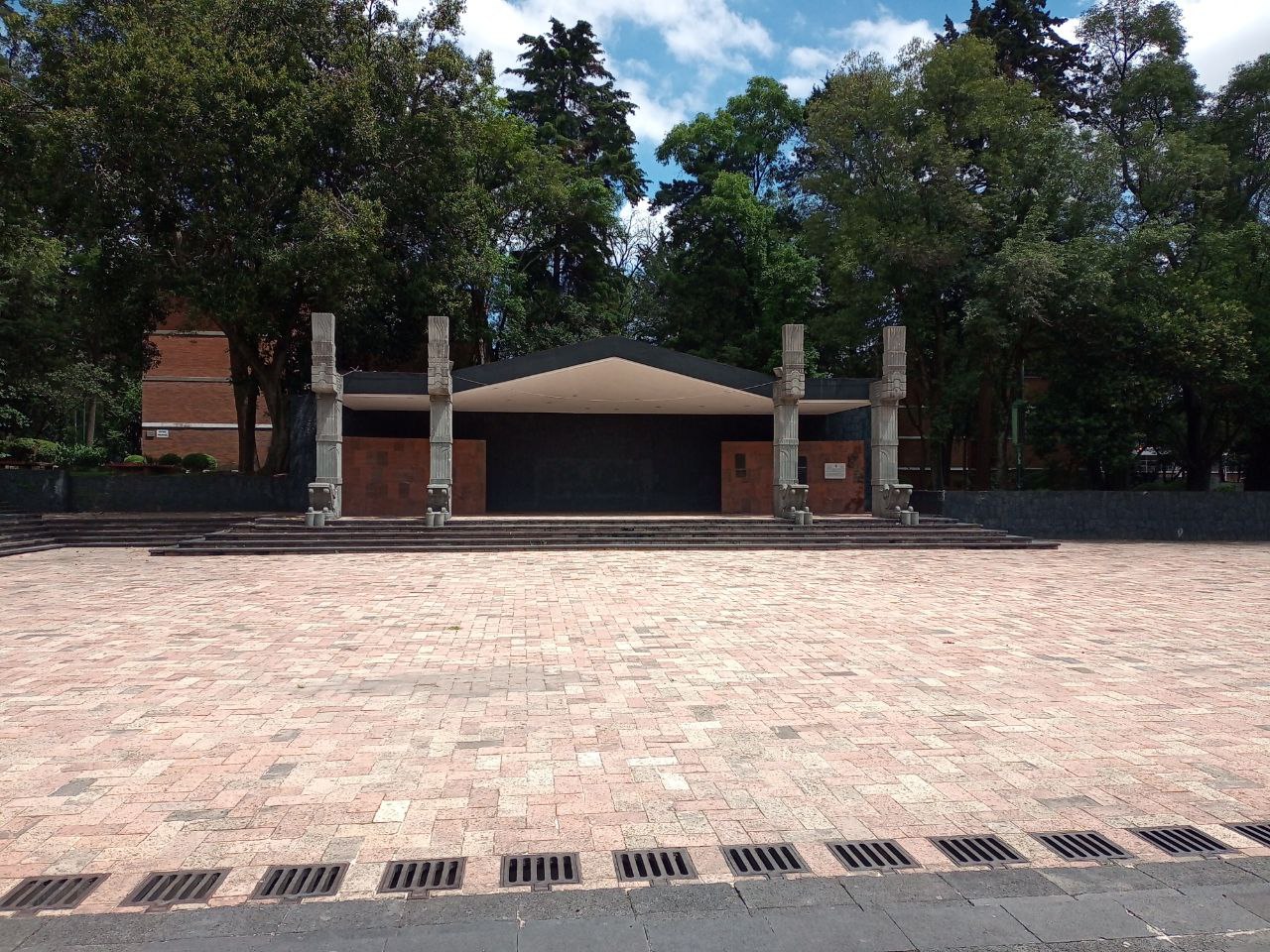
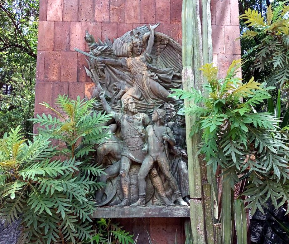
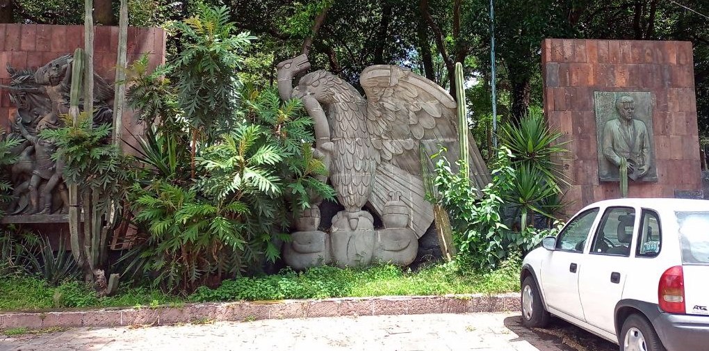
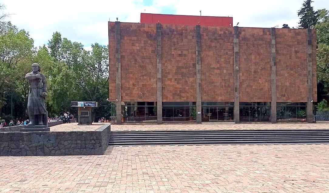
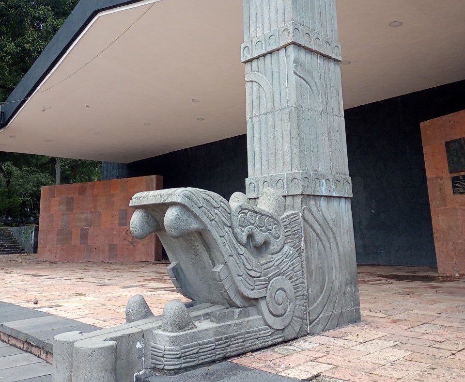
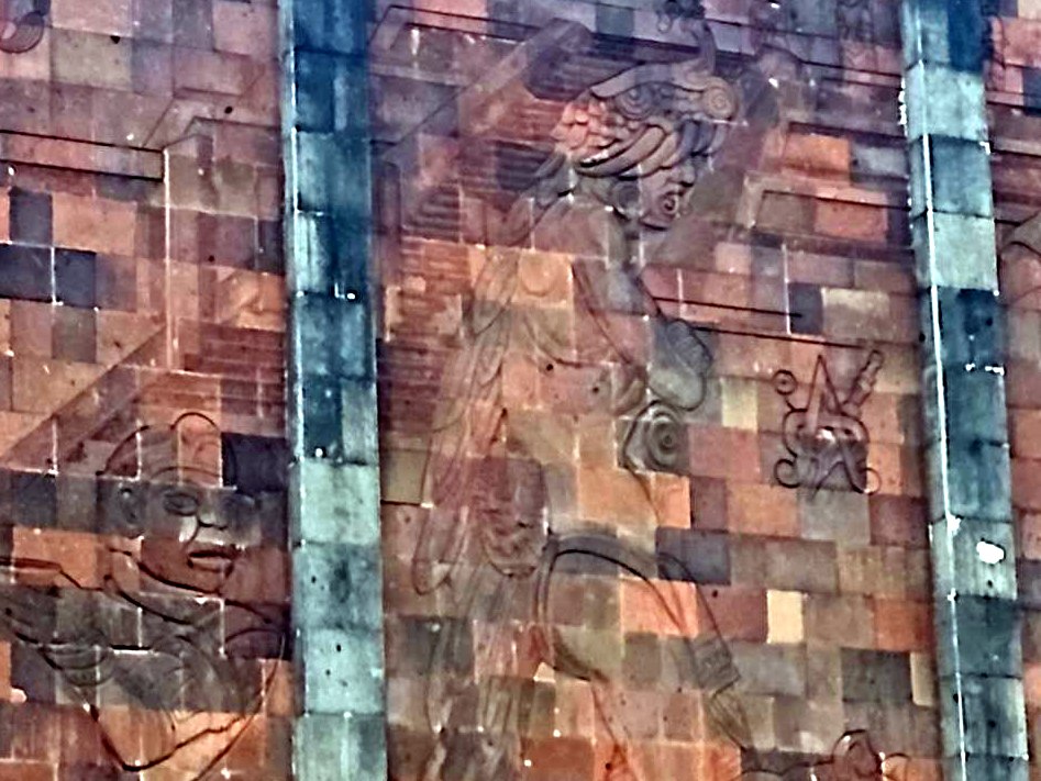
- The Civic Plaza is the culmination of the developments plan to integrate architecture with sculpture and painting.
- Architect Alejandro Prieto recreated an ancient Mesoamerican city in the plaza.
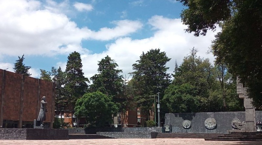
- Surrounding building facades include artwork, especially by Francisco Eppens Helguera.
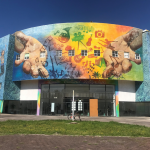
- More than 80 mosaic murals continue from the plaza into the other plazas, gardens, walkways and children’s play areas
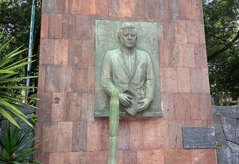
- Two sculptures by Ernesto Tamariz (1904-1988) commemorate the visits of US President John F. Kennedy and French President Charles De Gaulle.
- The development has also been visited by:
- Indira Gandhi, Prime Minister of India
- Jawaharlal Nehru also of India
- Jorge Alessandri of Chile
- Rómulo Betancourt of Venezuela
- Juan Bosh of Dominican Republic
- Marshal Tito of Yugoslavia
- Víctor Paz Estenssoro of Bolivia
- Queen Juliana of the Netherlands
- Prince Akihito of Japan
- George Price, Prime Minister of Belize
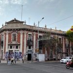
- The Civic Plaza is immediately north of the Teatro Independencia, now known as the Teatro Independencia San Jerónimo.
The Housing Development
- The land for the project was all part of the historic Batán Hacienda.
- That name is still used to distinguish the couple of modern city neighborhoods which encompass the larger project (Colonias Independencia Batán Norte & Sur).
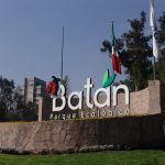
- Perhaps more obviously, the name remains in the Parque Ecologico El Batán, just across the Periferíco highway.
- The map also includes the Colonia Independencia San Ramón to the west, and the giant Deportivo Independence sports complex in between.
- Trees from the Hacienda El Batán were maintained within the complex. The Matsumoto greenhouses and nurseries were preserved even after IMSS acquired the property.
- Many Japanese families were given refuge on these grounds during World War II.
- The residential neighborhood is thought to have been envisioned by Adolfo López Mateos prior to his presidency (1958-1964). As Secretary of Labor during the previous administration he lived on the Avenida San Jerónimo and likely saw the considerable need for housing in the area at that time.
- The Mexican Social Security Institute (IMSS) began the project to provide not just housing but social and artistic, sports and recreational facilities.
- Construction began in 1959 under the leadership of architects Alejandro Prieto Posadas, José María Gutiérrez Trujillo, and Pedro F. Miret plus 23 architects and engineers.
- The development was officially opened in 1960 as part of commemorations of the 150th Anniversary of Mexican Independence AND the 50th Anniversary of the beginning of the Mexican Revolution.
- In 2007, the development was added to the INBAL catalog of protected Artistic Monuments.
- The Unidad Independencia combined the experience of IMSS in building ten prior housing developments.
- The original development included a medical clinic, five schools, the theater and an outdoor theater, and the Civic Plaza Square,
- The complete development includes 635 single-family houses, 36 apartment buildings totaling 1,500 apartments and three towers of 100 apartments.
- Today the development includes 2,235 condominiums and a population of about 10,000 residents.
- The three neighborhoods of the Unidad Independencia all bear street and building names in the Nahuatl and Mayan languages as well as references to Mexican Literature and Song.
- The work “Hidalgo Libertador” is by Juan O’Gorman is above the vestibule entrance of the Inter-American Center for Social Security Studies (CIESS). The building is immediately south of the San Ramón neighborhood.
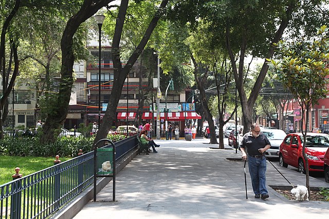
- Visitors are reminded that the Unidad Independencia is a living and functioning neighborhood. Respect for residents and property is appreciated.
- Walking some of the pathways of the development is often considered an alternative to walking the pedestrian-unfriendly San Jerónimo proper.
- Buses to the Plaza Civica leave from Metro Miguel Ángel de Quevedo during daylight hours. The walk from Metro Copilco is a little too far, (it takes about 0ne hour). Taxis make the trip in about 15 minutes.


 Visitors Guide
 Intro to Mexico City Food
 Weather
 Emergencies